Directions Trailhead for South Fork Lakes
From Lone Pine
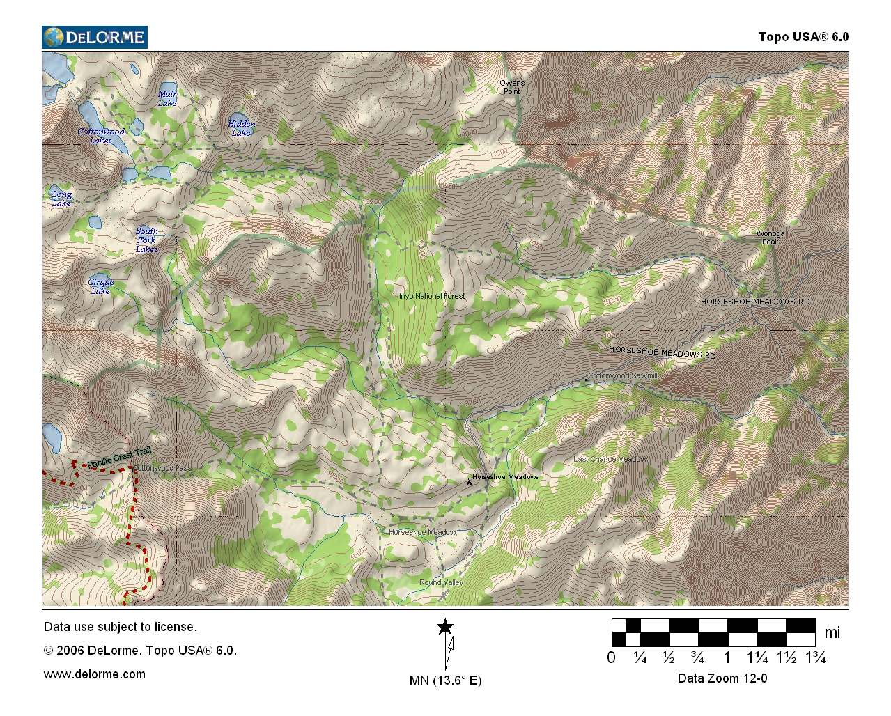
South Fork Lakes is located in the southern Sierra Nevada in Inyo County. The trailhead is located 24 miles from the town of Lone Pine off Highway 395. The paved road is usually open late May to late October. To reach Horseshoe Meadow Road, turn west on Whitney Portal Road at the traffic signal in the center of Lone Pine. Drive 3.5 miles and turn south (left) on Horseshoe Meadow Road. Continue about 20 miles to the sign for Cottonwood Lakes / New Army Pass Trailhead. Turn right and drive about one-quarter mile to the hiker / backpacker parking lot.
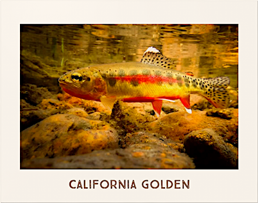
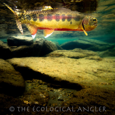
Fly Fishing South Fork Lakes for California Golden Trout
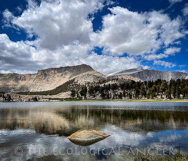
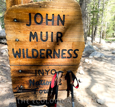
South Fork Lakes are perched in the High Sierra at the southern edge of the John Muir Wilderness. The more popular Cottonwood Lakes Basin is located a short distance north of the South Fork Lakes. Cottonwood Lakes comprises a chain of five lakes which are roughly similar in size. These lakes, along with South Fork Lakes, hold healthy populations of California golden trout.
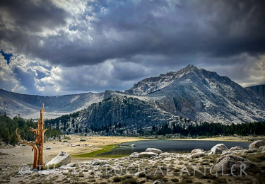
Cottonwood Lakes Trailhead, elevation 10,400 feet, is the starting point for South Fork Lakes and offers one of the highest starting points to reach the John Muir Wilderness in the Sierra Nevada. From the trialhead, it's about a 4.5 mile hike to reach the lower South Fork Lake.
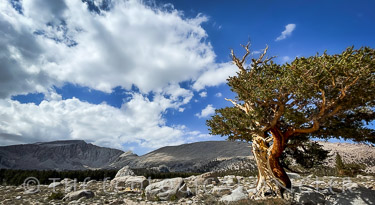
If you are planning to hike to the South Fork Lakes - or any high elevation destination for that matter - be sure to pack foul-weather gear, bug repellent, and plenty of water and a water filter. During past trips in the John Muir Wilderness, the skies have dumped hail-stones, buckets of rain and swarms of mosquitoes.
The hike to reach the South Fork Lakes goes up the northern edge of the Kern Plateau and meanders through both the Golden Trout Wilderness and the John Muir Wilderness. The trail enters the Golden Trout Wilderness within the first mile or so. One of the first recorded accounts of native golden trout being transplanted to Cottonwood Creek happened back in 1876. Colonel Sherman Stevens is credited with planting thirteen golden trout from the Kern River watershed ( the native watershed of the California golden trout) into Cottonwood Creek.
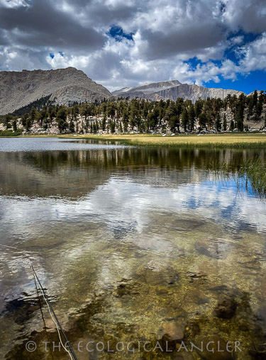
Side trails branch off the Cottonwood Lakes Trail to Muir Lake, Hidden Lake, South Fork Lakes, Cirque Lake. Lakes found off the trail to New Army Pass are Long Lake and High Lake in the John Muir Wilderness. Climbing over New Army Pass the trail continues into Sequoia National Park and eventually joins the Pacific Crest Trail.