
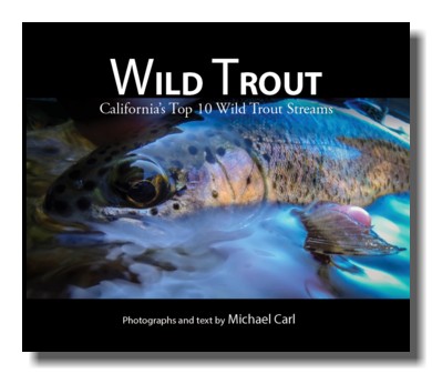
 The Upper Tuolumne River is featured in the new ebook, Wild Trout.
From Manteca
Manteca is located off of Highway 99 - between Stockon to the North and Modesto to the South. From Manteca take Highway 120 for 111 miles until you reach Tuolumne Meadows inside Yosemite National Park. Day use parking is available at various locations off Highway 120 in Tuolumne Meadows, and overnight camping is also available at the Tuolumne Meadows Campground.
The Tuolumne River originates from two forks - Dana Fork and the Lyell Fork. Both forks source from the huge snowpack that accumulates along the high peaks along Yosemite's eastern boundary. If you have driven Highway 120 between Tioga Pass and Tuolumne Meadows chances are you have seen the Dana Fork flowing just outside your car window. The Lyell Fork flows a bit further south of Highway 120.
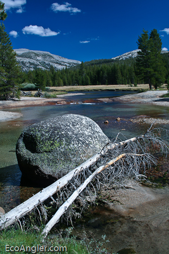
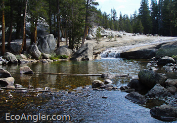
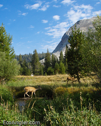
These two forks meet in Tuolumne Meadows and continue a slow, steady meander before plunging and cascading over large rock faces down to Glen Aulin and on to the Grand Canyon of the Tuolumne River. As seen from Tuolumne Meadows (8,600 feet in elevation), the Tuolumne and a large portion of the lower Lyell Fork provide a classic alpine-stream fishery.
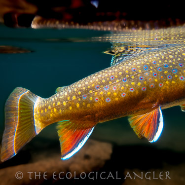
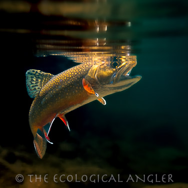
The Lyell Fork fishery consists primarily of wild brook and brown trout in the 6 to 14 inch range. The clarity of the water and the table-top-like-smoothness of the surface make approaches to these fish far more critical than what you present them with. Keep a fair distance from the water and look for water holding trout, then pick a spot to cast/drift your fly from. Given a short growing season and limited populations of insects, these fish are eager to take a well presented offering.
Because of its free-flowing condition and "outstandingly remarkable values," in 1984, Congress added 83 miles of the Tuolumne River to the Wild and Scenic Rivers System, 54 miles of which flow through Yosemite National Park.