The Lower Sacramento River
Directions
From Red Bluff
From the town of Red Bluff, drive north on Interstate 5 to the Jellys Ferry Road exit. Proceed east on Jellys Ferry Road, turn right on Bend Road, proceed across the Bend bridge to the river access. Additional river access points are found further north on Jellys Ferry Road at Jellys bridge and Balls Ferry bridge.
Sacramento River - Balls Ferry to Red Bluff
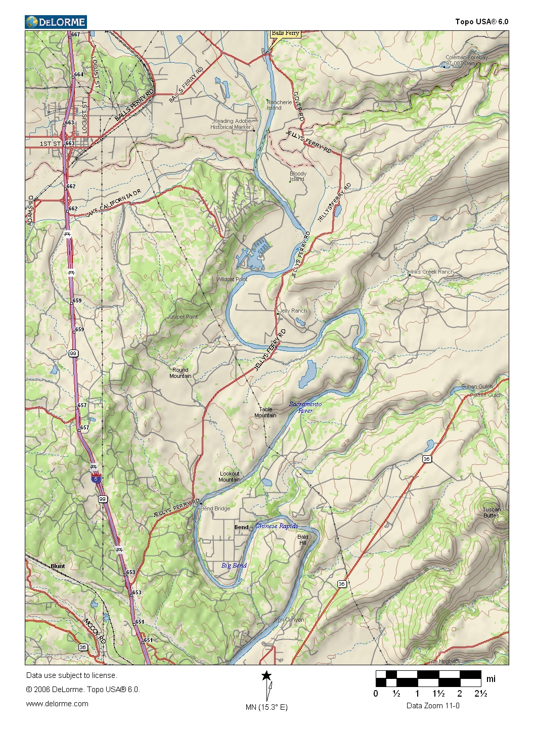
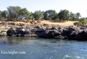
The section of the Sacramento River running below Keswick Dam is generally considered the "Lower Sac." The 36 miles of river between Anderson River Park and Red Bluff provide a varied fishery in terms of species and aquatic insects found. Besides the large numbers of rainbow trout found here, chinook salmon and steelhead are present in the system from late summer into the winter. (A seven pound steelhead caught on a size 14 golden stone is pictured above.)
The Lower Sac is one of the larger tail water fisheries in Northern California. But even with managed releases from Keswick Dam, the river flows can be in a range from 7,500 to 15,00 cfs. From spring to mid summer, the flows are typically above 10,000 cfs with the water being send downstream to support agricultural demands. Flows at or below the 8,000 cfs create ideal angling conditions in the late summer to early fall time by restricting the amount of area/water trout can hold in. Depending on the winter and spring flows, the river will morph - subtly moving where the productive fishing runs / lanes might be.
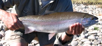
Downstream of Jelly's Ferry Road bridge, lava rock becomes more present in the riverbed with the river ultimately flowing through a canyon capped with lava rim-rock just upstream of Red Bluff. This section can produce an amazing number of rainbows for the angler that is willing to drift nymphs along the bottom (and is willing to risk the frequent "rock hook-up").